Description
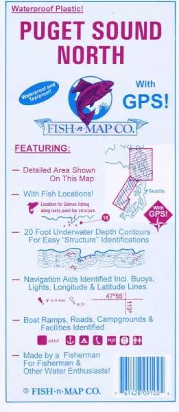
FEATURES:20 foot depth contoursUnderwater features identified including wrecks, weedbeds, artificial reefs, underwater bottom conditions, dredged channelsLatitude and Longitude Grids with Over 100 GPS Coordinates IdentifiedNumerous Fish Locations presented throughout chartFishing Strategies (Ideas)Artificial Reef DataDetailed Areas of Deception Pass, Admiralty Head and Possession BarBoat ramps, Campgrounds and Facilities providedWaterproof and Tear-resistant plastic, folds to 9x4, unfolds to 3x2, 2-sided chartMADE IN THE U.S.A.